
Defenderán diputados del PT principios de la 4T: Adrián González

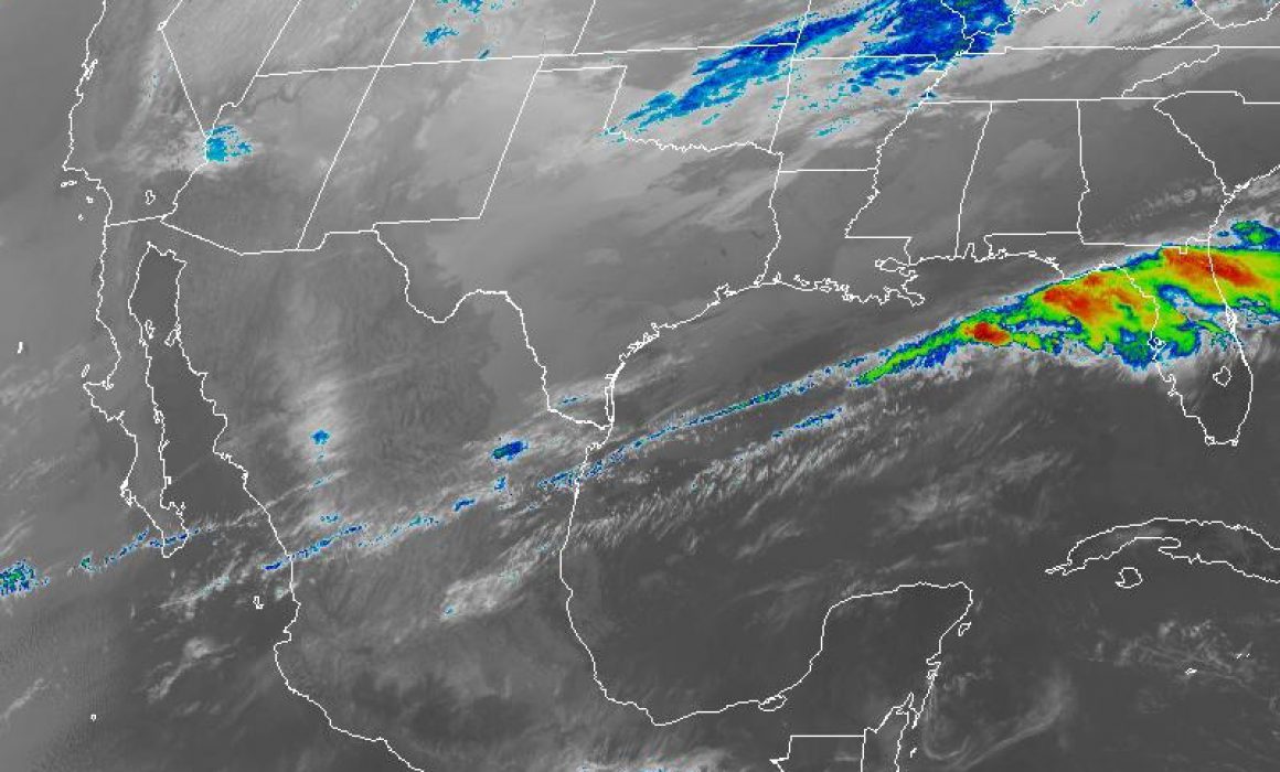
XALAPA, Ver., 14 de abril de 2020.- Este martes se espera siga disminuyendo la intensidad del calor y que continúe dominando el viento del norte en costa, con rachas máximas de 40 a 50 km/h y mayores esta noche en el norte, informó la secretaría de Protección Civil (PC).
La probabilidad para precipitaciones y tormentas aumenta con los máximos acumulados en regiones montañosas. No se descartan granizadas. Evitemos acciones que puedan desarrollar incendios forestales, de pastizales y basureros, hagamos uso eficiente del agua y sigamos las indicaciones de las autoridades locales de protección civil.
Región norte: (cuencas del Pánuco al Colipa): Medio nublado a nublado, aumentando l la probabilidad de lluvias con tormentas (actividad eléctrica y caída de granizo) hacia la noche y madrugada-mañana del miércoles.
Acumulados estimados en 24 horas de 5 a 15 mm con máximos de 30 a 50 mm especialmente en regiones montañosas de las cuencas del Tecolutla al Colipa.
Nieblas y neblinas eventuales. Viento del norte y noroeste de 20 a 30 km/h con rachas de 40 a 50 km/h en la costa, incrementándose mañana. La intensidad del calor sigue disminuyendo. Tmáx. 32-34°C en costa y 34-38°C en la Huasteca. Tmín. 19-22°C (menores en la región de Huayacocotla).
Regiones montañosas del centro: Despejado a medio nublado por la mañana, aumentando los nublados y la probabilidad de precipitaciones por la tarde-noche, las cuales pueden estar acompañadas por actividad eléctrica. No descarte granizadas.
Acumulados estimados en 24 horas de 5 a 20 mm. Viento dominante del norte y noreste de 15 a 25 km/h con rachas mayores en zonas de tormenta. La intensidad del calor continúa disminuyendo. Tmáx/Tmín. 29-32/16-19°C (menores en el valle de Perote).
Costa y llanuras del centro: Disminución de la nubosidad y disipación de las nieblas conforme avance el día, parcialmente nublado al mediodía y tarde, aumentando los nublados por la noche y hacia la madrugada-mañana del miércoles con probabilidad de lluvias aisladas.
Probabilidad de nieblas nuevamente por la noche-madrugada. Bruma durante el día. Viento del norte y noreste de 20 a 35 km/h con rachas de 45 kmh. La intensidad del calor sigue disminuyendo. Tmáx. Costa 30-32°C, planicie 35-37°C/Tmín 22-25°C.
Región sur: (cuencas del Papaloapan, Coatzacoalcos y Tonalá, incluyendo Los Tuxtlas): Despejado a medio nublado. Probabilidad de nieblas nocturnas en zonas montañosas y nocturnas a matutinas en llanuras y costa.
Viento del nde 20 a 35 km/h con rachas de 45 km/h en la costa. La intensidad del calor disminuye ligeramente en comparación al día de ayer. Tmáx. 34-36 costa, planicie 37-40°C /Tmín 22-25°C (Menores en la región de los Tuxtlas).
Los modelos de pronóstico muestran para los siguientes siete días lluvia acumulada y temperatura media dentro o por arriba del promedio en gran parte del estado de Veracruz.
Los modelos climáticos indican un mes con lluvia acumulada dentro o ligeramente por abajo del promedio en la mayor parte del estado.